Fieldbench · Off the clock

Radiosondes, Tennessee LiDAR, flight decks, and small computers.

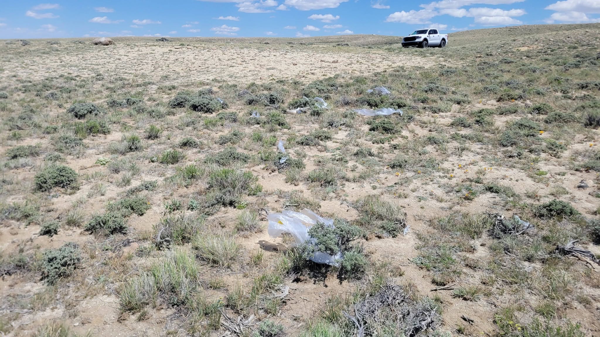
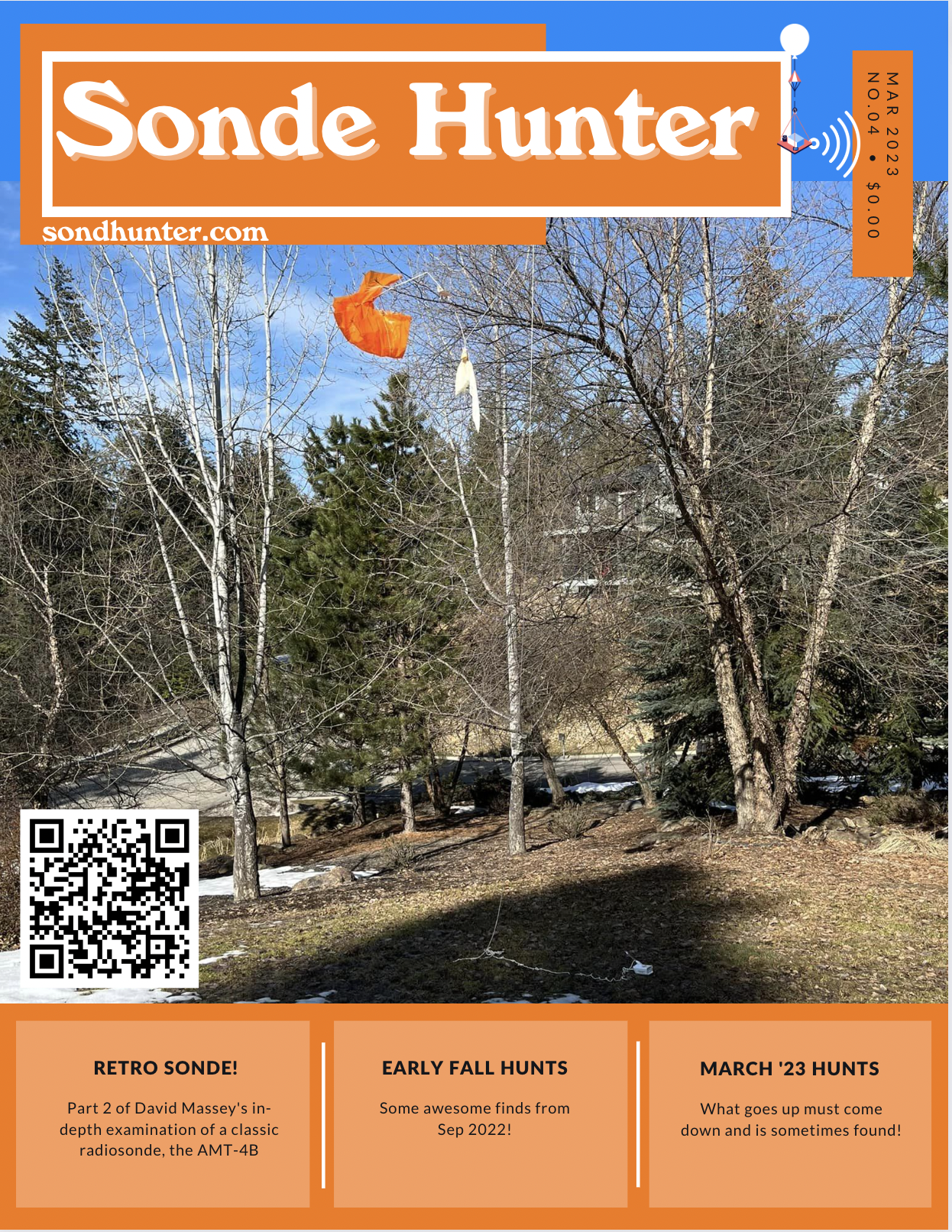
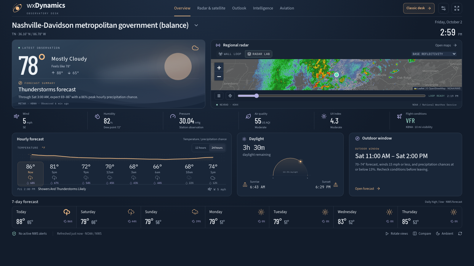
When I'm not building operational software for businesses, I'm usually chasing fallen weather balloons, flying airplanes, carving terrain data, or soldering tiny displays.

03 · LiDAR, maps & physical fabrication

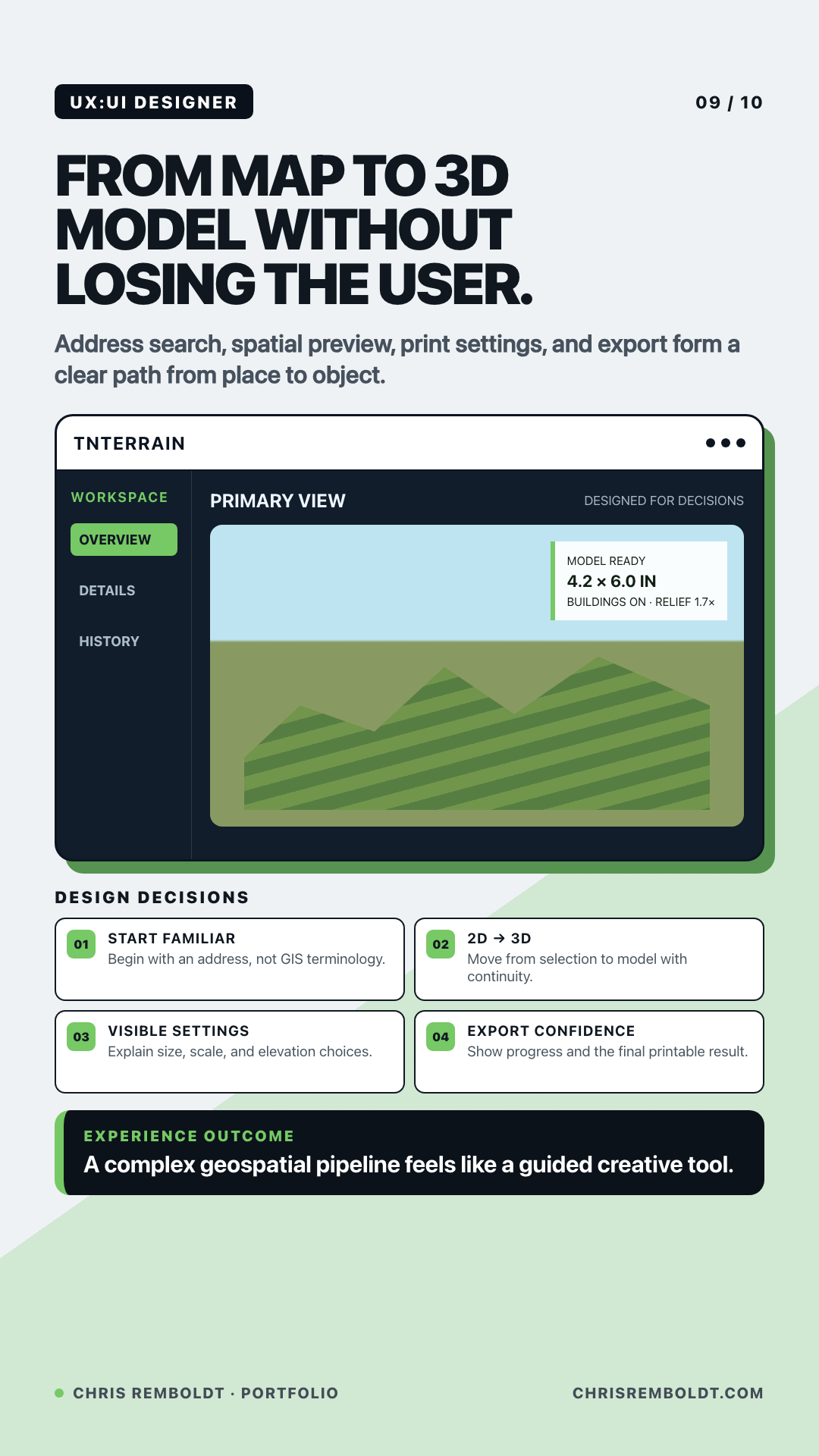
Turning elevation survey tiles into 3D-printed terrain

Pipelines that stitch raw Tennessee LiDAR and Great Lakes bathymetry into watertight 3D yard models and physical carved relief objects.

TNterrain pipeline turning an address into a printable 3D elevation model

Looking for the full chronological paper trail or the 30 visual studies?