Geospatial software / Live
TNterrain
A web tool that turns Tennessee LiDAR data into printable 3D terrain models.
Open TNterrain.com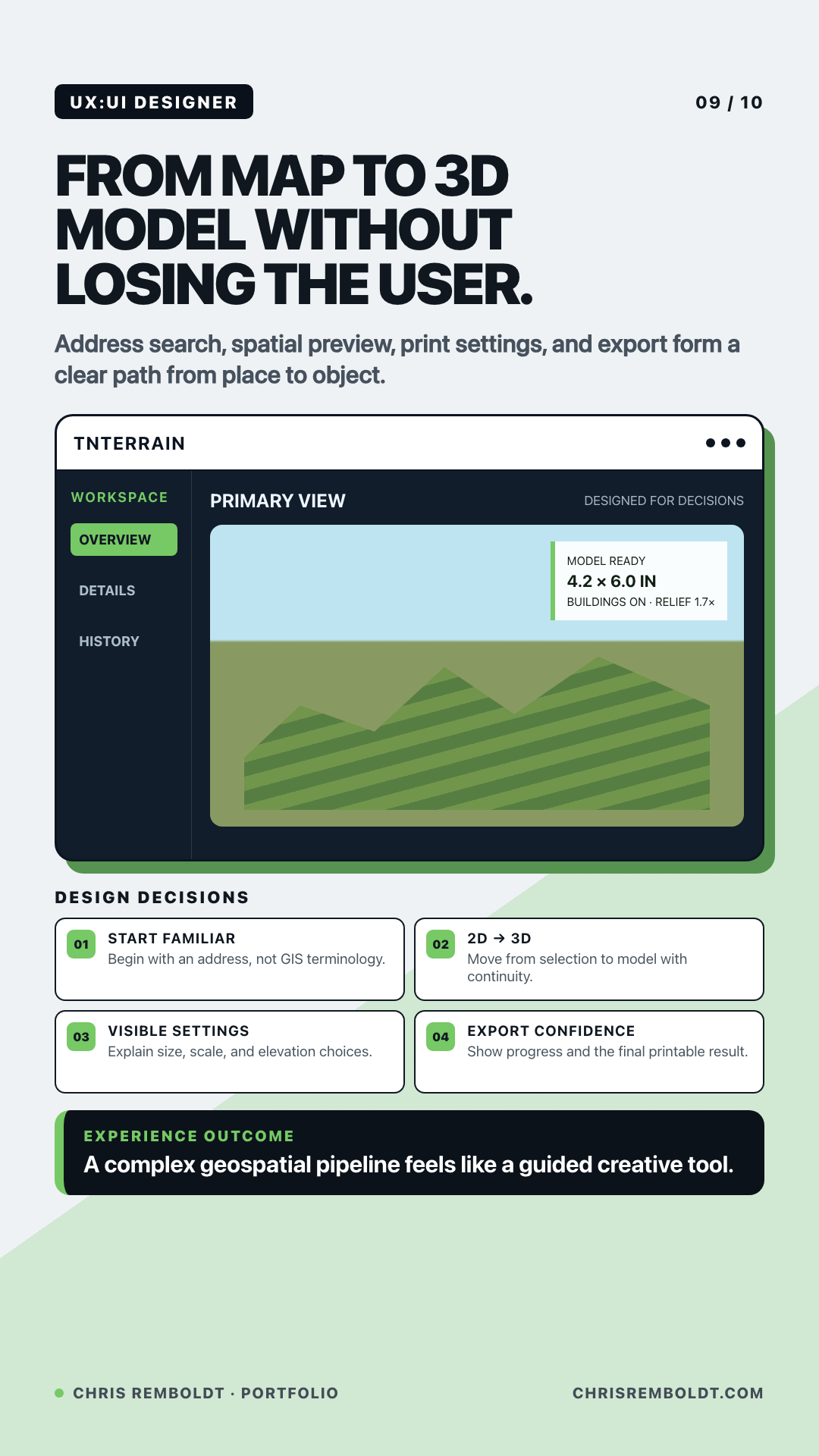
01 / The problem
What had to change
Making a 3D print of a familiar place can mean finding elevation survey tiles, joining them, and turning the data into a printable model.
02 / The constraints
What the system had to respect
- Start with a street address so people can find a place without knowing how the survey data is organized.
- Let people preview the selected area and see how changes to scale and relief affect the model before export.
03 / The build
What I made
- Address search and a map for choosing the area to model.
- A pipeline that combines Tennessee LiDAR elevation tiles into a watertight 3D model.
- A 3D preview with print settings and model export.
04 / The result
The useful change
You can go from a Tennessee address to a model ready for 3D printing in one tool.